wellness
Top Walking Trails in Sha Tin Rated by Distance and Difficulty
Sha Tin parks list routes from short flat loops to longer steep climbs with clear distance and effort markers.
How we reported this
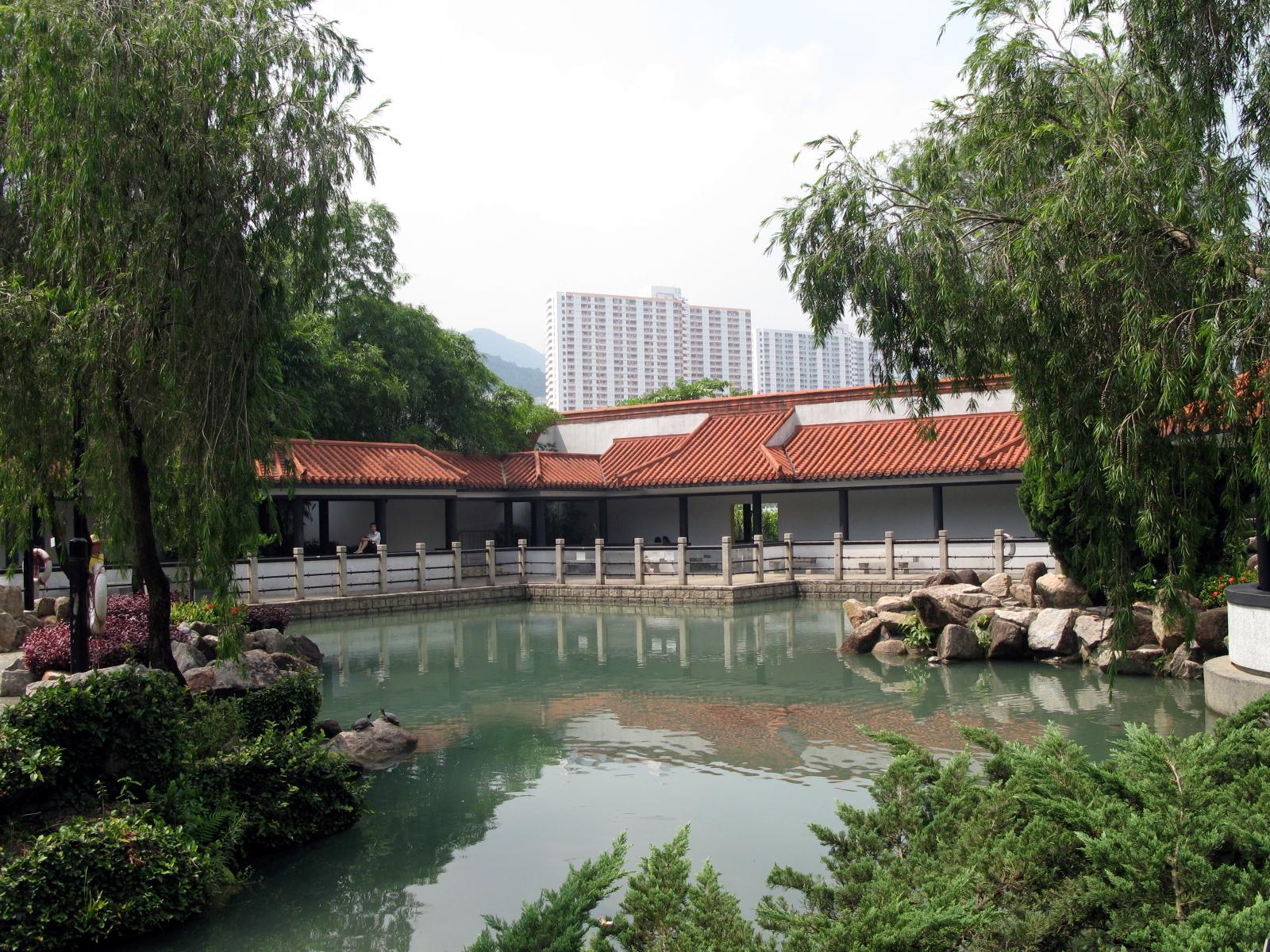
Sha Tin district authorities released updated ratings this week for eight marked walking trails across local parks, assigning each a distance in kilometers and a difficulty level from easy to strenuous based on elevation gain and surface conditions.
July marks the start of peak outdoor season here as temperatures climb above 30 degrees and more residents shift from indoor gyms to open spaces for daily movement. District records show trail visits rose sharply last summer after the Sha Tin District Council expanded signage and added water stations at three sites. These ratings help locals pick routes that match their fitness without overdoing it on hot days.
Sha Tin Park on Yuen Wo Road offers the shortest option at 1.8 kilometers on paved paths rated easy with no major slopes. The Shing Mun River Trail starting near Sha Tin Wai Road stretches 4.7 kilometers and carries a moderate label due to occasional gravel sections and gentle rises. Both spots fall under maintenance by the Leisure and Cultural Services Department, which added new benches and distance markers in 2025.
Moderate and longer routes
Further afield the Tai Wai section of the MacLehose Trail covers 7.2 kilometers with a difficult rating from steep stone steps and 180 meters of total climb. Nearby the Lion Rock Country Park entry off Tai Po Road lists an 8.9 kilometer loop rated strenuous that includes rocky outcrops and limited shade. Sha Tin Sports Ground runs a free guided walk program on the first Saturday of each month that covers the moderate river trail for groups of up to 25 people.
Department figures from the 2025 annual park report recorded 92,000 visits across these four trails between January and June, with the moderate river route drawing the highest share at 38 percent. Entry remains free at all sites though the council charges 120 Hong Kong dollars for printed maps sold at the Sha Tin Public Library.
Walkers should check the daily heat advisory posted at park entrances before setting out and carry at least one liter of water per person on any route over four kilometers. Updated trail maps appear on the district website each Monday morning with notes on recent surface repairs.